
Sundial mapping prototype
Building on the previous mapping prototype, I shifted focus from projection to the placement of the prototype within a specific location, exploring how it could integrate seamlessly with its surroundings and become part of the environment. By utilising natural elements, such as sunlight, the mapping prototype incorporated interactive features guided by light and shadows. The goal was to create an interactive map that not only integrated with its environment, but also functioned as a timepiece, using the interplay of light and shadow to tell the time of day or year.
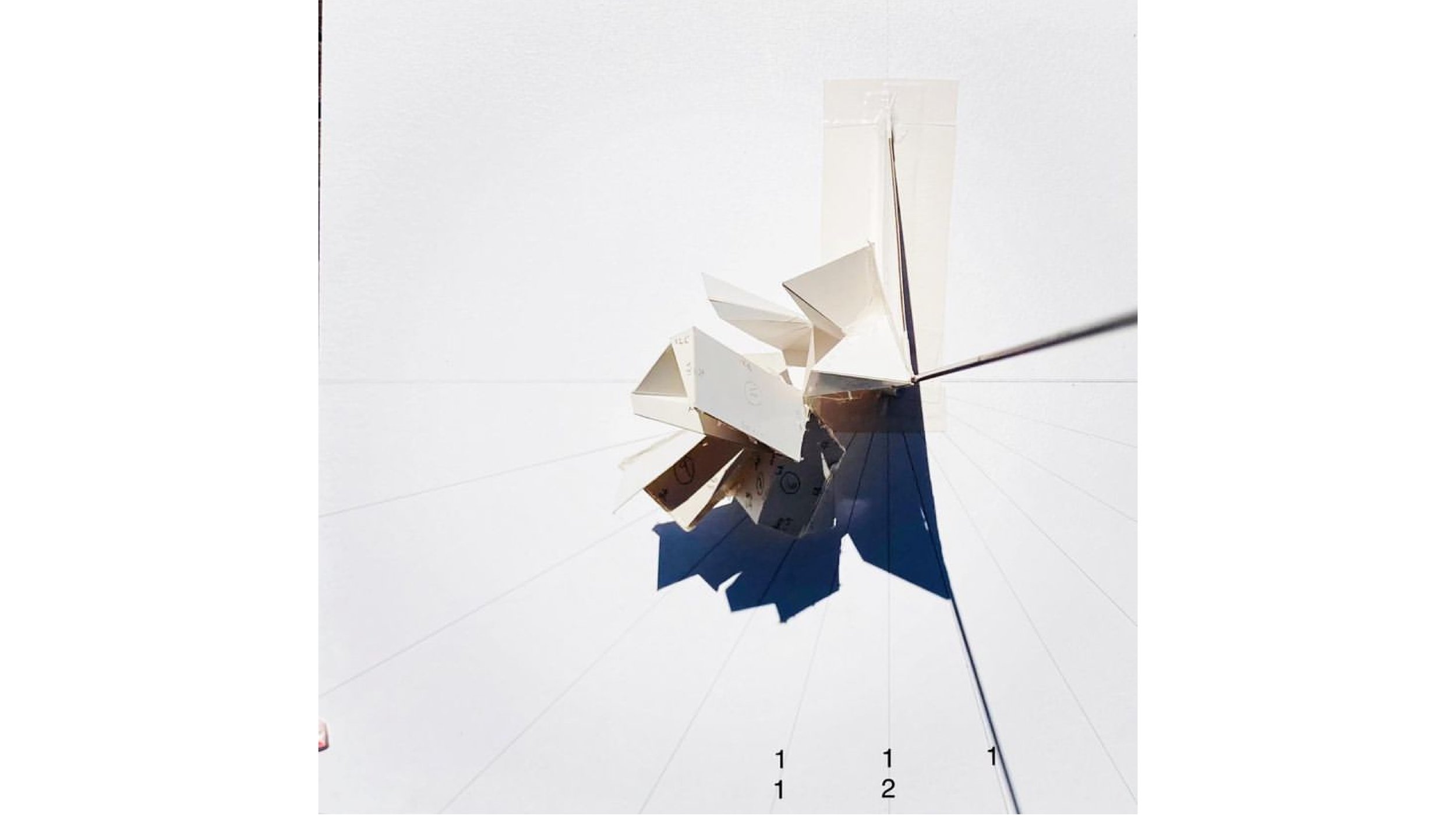
The mapping prototype became a sundial by casting a shadow from the gnomon (a raised triangular blade), onto the ground, which was marked with hour lines. As the sun moves across the sky, the shadow shifts to indicate the time of day. To ensure its accuracy, I carefully aligned the gnomon with the Earth's axis, angling it to match the latitude of the location and pointing it towards true north. This precise alignment allows the sundial to function correctly, with the shadow corresponding to the hour markings throughout the day.
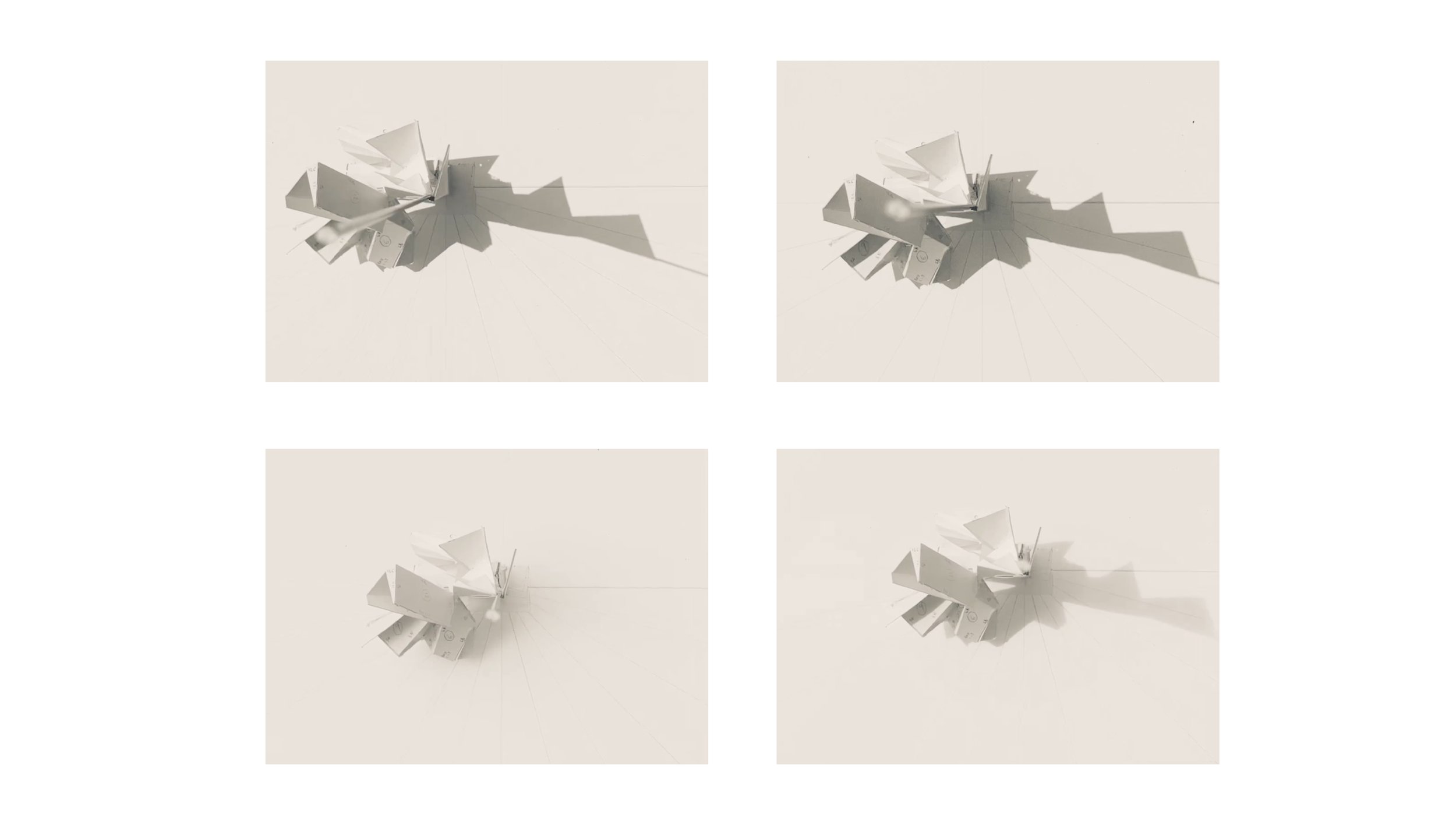
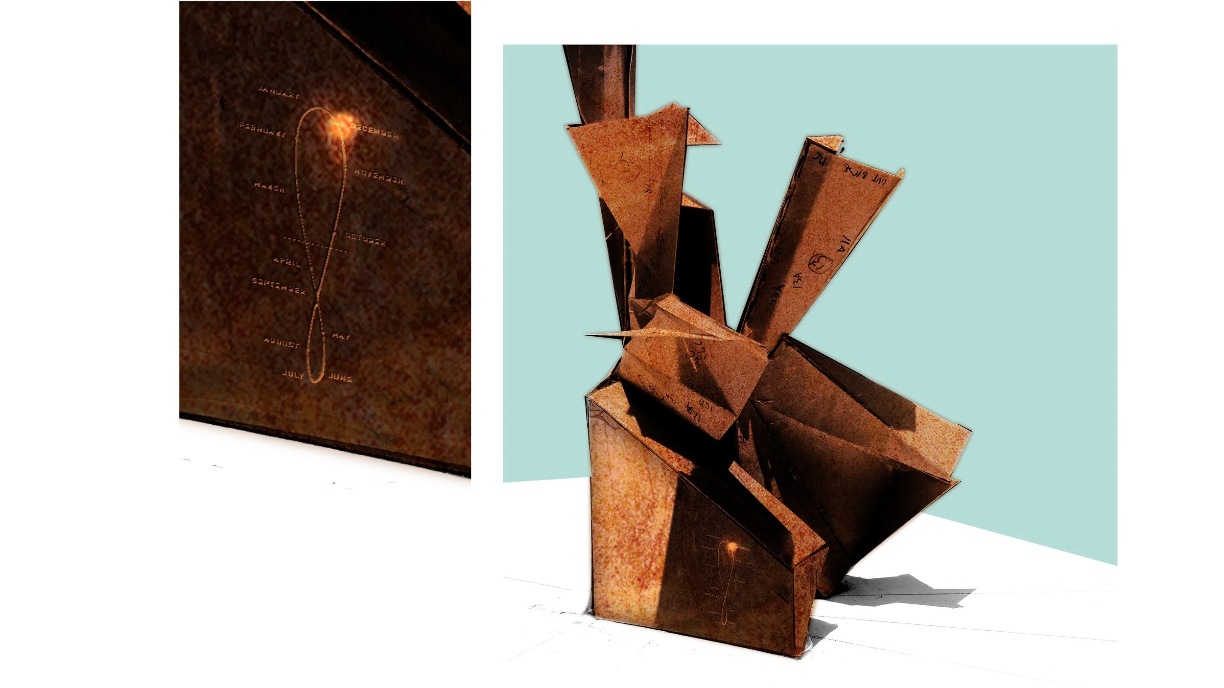
I etched a draft of an analemma loop, a figure-eight-shaped curve, onto the dial plate of the mapping prototype. The curve of the analemma loop represents the sun’s position in the sky at the same time each day throughout the year, accounting for the Earth’s tilt and its elliptical orbit
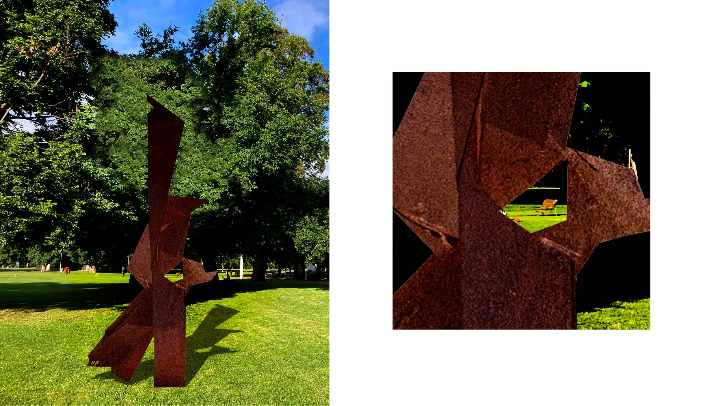
Beyond its time-telling function, the sundial mapping prototype also featured built-in shapes and framed windows. These openings offered focused glimpses of the park through carefully selected frames. By directing the viewer’s attention to specific sections of the environment, these frames encouraged new perspectives, unveiling aspects of the park that once again might otherwise go unnoticed.

Experimenting with the notion of framing